more like it
24 July 2015
Overnighter from route 653 trailhead to Grindle Ridge shelters on Laurel Highlands Hiking Trail. 6.5 miles each way. Learned that the trail map icon for water means potable only, but there are actual pumps at the shelter sites that you can treat. I didn't realize this, so I was PRETTY THIRSTY BEING ALL CONSERVE-Y.
Other lessons:
- cheap stove valves don't always close tightly, so they can get spurty with the gas when you connect them
- fire starters need to burn long enough to actually start a fire
- the forest is boring in the evening. Glad I brought a book
Some firsts:
- first night camping out alone (not scared once for reals)
- first time filtering water (pouring into a Brita doesn't count)
- first freezer bag meal
- first bear bag hang (got it on 5th try!)
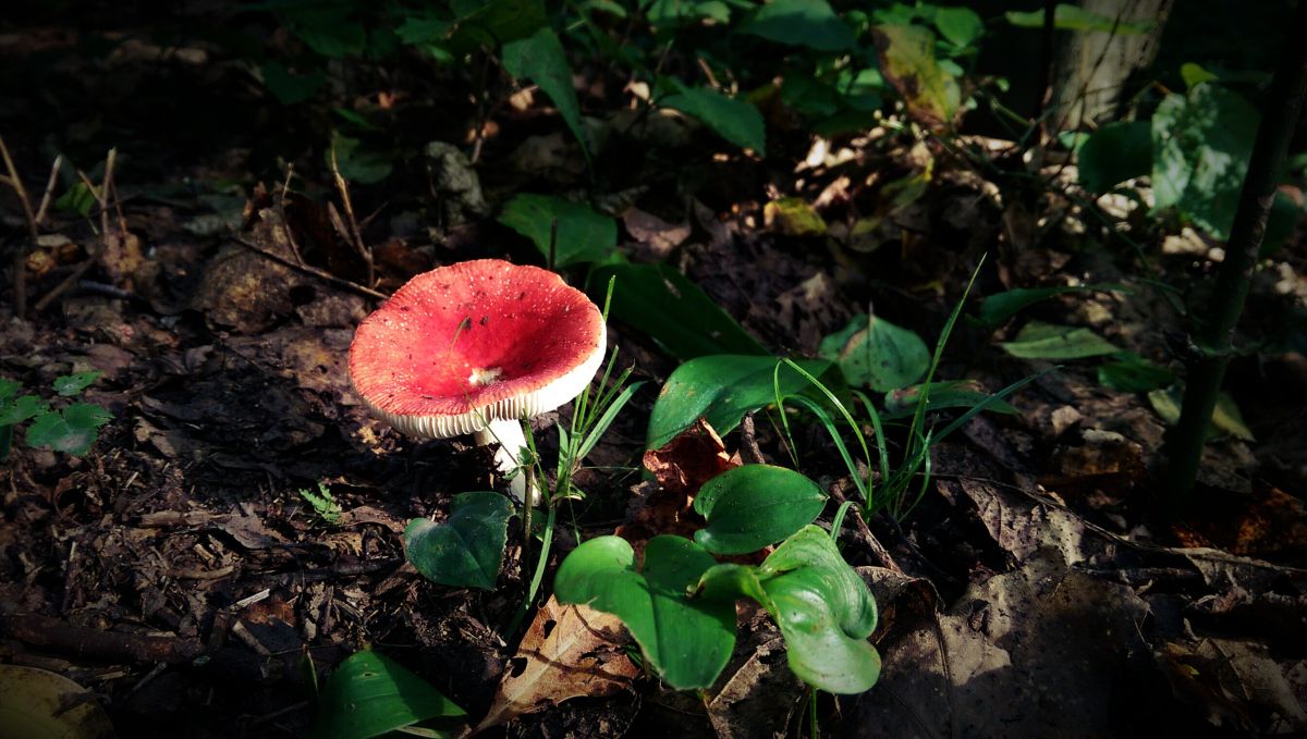
Trail is beautiful but a crap-ton of roots and rocks. And it would be nasty when it's really wet with all the sucking wet mud. 8/10 will hike again.

